

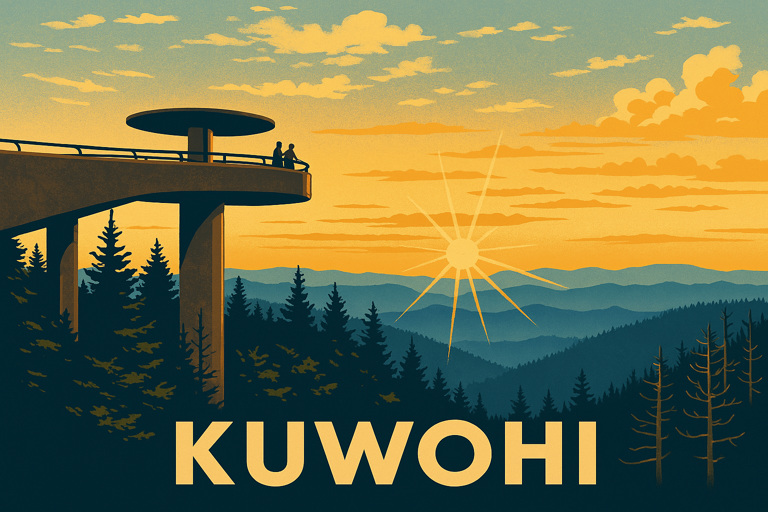
Kuwohi: The Highest Peak in the Smokies Returns to Its Roots
The mountain didn’t change. We’re just calling it what it’s always been.”
— Elder from the Eastern Band of Cherokee Indians
📍 Location: Kuwohi (formerly Clingmans Dome)
Distance from Gatlinburg, TN: ~23 miles
Elevation: 6,643 ft — highest point in Great Smoky Mountains National Park
🧭 What’s in a Name?
Long before the Smokies became a national park — before trails were blazed and lookout towers built — this place was called Kuwohi (ᎫᏬᎯ), the “Mulberry Place.”
On September 18, 2024, the name was officially restored, replacing the name Clingmans Dome — a title honoring a 19th-century Confederate general. Now, visitors to the highest point in the Smokies can speak the mountain’s Cherokee name, a meaningful shift that honors the people who have lived in and loved these mountains for generations.
🥾 Trails Around Kuwohi
Whether you're coming for the name change, the cultural history, or the cool air at 6,643 feet — Kuwohi is a must-visit. Here are the best ways to explore it:
1. Clingmans Dome Observation Tower Trail
Distance: 1.2 miles roundtrip
Difficulty: Easy to Moderate (paved but steep)
Best For: First-timers, sunset seekers, families
This short but steep paved trail leads straight to the iconic spiral tower at the summit. On clear days, you’ll see as far as 100 miles into seven states. Bring layers — the temperature can be 15–20° cooler than in town.
2. Forney Ridge Trail to Andrews Bald
Distance: 3.6 miles roundtrip
Difficulty: Moderate
Best For: Summer wildflowers, quiet meadows, views without crowds
Starting right near the tower parking lot, this gently rolling trail dips through spruce-fir forest and opens to a rare Southern Appalachian bald — a high-elevation meadow with sweeping Smoky Mountain views. Perfect for a picnic with room to breathe.
3. Appalachian Trail from Kuwohi
Distance: Choose your own distance — it's part of the 2,190-mile Appalachian Trail
Difficulty: Moderate to Hard
Best For: Backpackers, long-day hikers, bragging rights
Kuwohi sits at a major Appalachian Trail crossing. Hike north toward Newfound Gap or south toward Derrick Knob Shelter. Either way, you're walking the spine of the Smokies with views that belong in a postcard.
4. Clingmans Dome Bypass Trail
Distance: 0.6 miles
Difficulty: Easy
Best For: Connecting trails, avoiding crowds
A quieter connector that helps loop or detour other routes. You’ll find plenty of moss, mushrooms, and quiet forest here — ideal for a slower pace or nature photography.
🧢 Insider Notes
Arrive early or late in the day — the parking lot fills fast, especially in summer and fall
Restrooms and a small visitor info station are available seasonally
The Kuwohi Road (formerly Clingmans Dome Road) closes from Dec 1 – Mar 31 due to weather
Pets are not allowed on the paved summit trail, but are on some lower elevation trails
Pack layers — it’s cooler and windier up top
🎒 What to Bring
🧥 WindShell Jacket – Required gear at elevation
🥾 Trail Runners or Light Hikers – For Andrews Bald and AT sections
🎒 Trail Pack– Day hike essentials: snacks, water, and layers
🗺 Trail map – Cell service is spotty, and signage can be minimal
All available at Hurshel’s Outfitters – tested in these mountains, built for yours.
🌄 Why This Matters
Kuwohi isn’t just the highest point in the park — it’s a living reminder that these mountains have always held meaning, long before trail signs and road maps.
The name change is about more than words — it’s about honoring place, respecting heritage, and remembering that adventure happens on land with deep roots.
👣 More Like This:
[Charlies Bunion] – 8.1 miles / Appalachian Trail / Iconic ridgeline views
[Andrews Bald] – 3.6 miles / Meadow vibes / Starts at Kuwohi
[Spruce Flats Falls] – 2 miles / Hidden waterfall / Near Tremont
✨ Learn More on Hurshel’s Journal
Explore more trails, cultural stories, and trail-tested gear at hurshels.com/journal
Tag us in your adventure shots with #TrailLifeWithHurshel